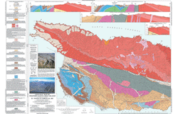
Dibblee Geologic Maps
The Dibblee geologic maps are printed in full color, with an attractive, consistent color scheme, and generally at a uniform scale (1:24,000), using USGS topographic base maps. They contain only observable, understandable and reliable geological information of benefit to the broadest range of users. With Tom's philosophy of creating maps that provide basic field data to the geologic community, these maps are used by engineering geologists, oil companies, planning agencies, US Forest Service, researchers, educators and students, environmental consultants, archaeologists, and realtors and developers.
