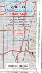
Angeles Front Country
Our maps have color-coded symbols and trails, mileages between trail junctions, latitude/longitude, UTM grids, contour lines, vegetation, and elevations at trail junctions.
(W) Placerita Canyon, (E) Chilao (N) Vasquez County Park, (S) Verdugo Mtns
2013 1:63,360 80 ft contours