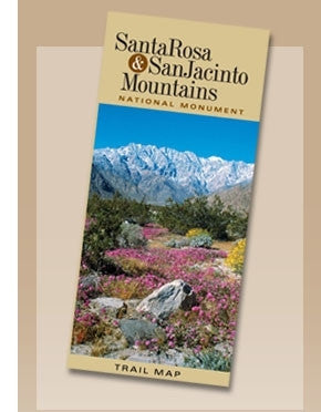
Santa Rosa & San Jacinto Mountains National Monument Trail Map
The most comprehensive trails map in the history of the Coachella Valley. The map lists locations of more than 75 trails throughout the Santa Rosa and San Jacinto Mountains National Monument, and offers trail ratings, hiking advice and safety reminders. It is tear resistant and waterproof. Trails include: Art Smith, Boo Hoff, Randall Henderson, Cactus Spring, Skyline, Palm Canyon, Dunn Road, Bump & Grind, La Quinta Cove-Lake Cahuilla, and many more....... and covers the San Jacinto Mountains-Alpine Region, Idyllwild/Garner Valley to Desert Divide, Palm Springs West, Indian Canyons-East & West, Murray Hill Complex, Palm Desert/Rancho Mirage Network, La Quinta/Indian Wells Santa Rosa Wilderness (Low Desert), Pinyon flats/Santa Rosa Wilderness (High Desert/Mountains). Santa Rosa & San Jacinto Mountains National Monument, Published 2008, Scale 1:53,350, Format Folded; Plastic, Relief Physical, Flat Dimensions (inches) 39 x 36 2-sided