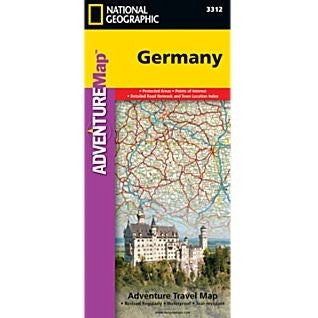
Germany Adventure Map 3312
National Geographic's Germany Adventure Map is designed to meet the unique needs of adventure travelers with its durability and accurate information. Each folded map provides global travelers with the perfect combination of detail and perspective, highlighting the area’s terrain and best locations for adventure activities like snorkeling, surfing, fishing, and more. Adventure Maps include hundreds of points of interest that highlight diverse and unique destinations within the country. The map includes the locations of thousands of cities and towns with a user-friendly index, plus a clearly marked road network complete with distances and designations for major highways, main roads, and tracks and trails for those seeking to explore more remote regions. The front side of the Germany map details the southern region of the country, from its border with Luxembourg, Belgium and France to the west, to Switzerland and Austria to the south, and Czechoslovakia to the east. The reverse side details Germanys northern region; bordering Belgium and the Netherlands to the west, Poland and Czechoslovakia to the east and the Baltic Sea, Denmark and the North Sea to the north. 4 1/4" x 9 1/4" folded; 26" x 38" fully opened Scale = 1:825,000 2011