London & England South and Wales
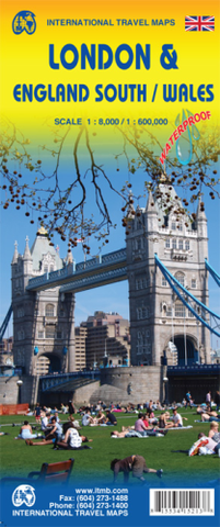
London is one of the most fascinating cities in the world and yet is one that is very difficult to map. The surface roads are often short, and the longer roads change names every few blocks. The underground system is a nightmare to map accurately and the overground is difficult, simply because only some overground rail lines are used by London Transport. The rest are used for freight or for inter-city travel and are operated by the railways. Regardless, the purpose of a travel map of London is to show the many museums, theatres, attractions, and parks that make London such a unique entity, and this our map does, including incorporating just a few of the hundreds of pubs on to our map. Exciting though London is, most people visiting it want to explore beyond the limits of a city map, so we have used the back side to portray all of southern England south of the Wash and all of Wales on to the map. This map shows all the towns within easy striking distance of London – Canterbury, Oxford, Norwich, Birmingham, Chester, and Lincoln – all the motorways, A roads, B roads and even the smaller local roads, although at 1:600,000 scale, such roads add little to the map. Naturally, ITMB has added castles, famous gardens, some National Trust properties (including Newton’s birthplace!), with an inset map of the Channel Islands. Information is incredibly dense on this map. 2014 Map size: 27*39”