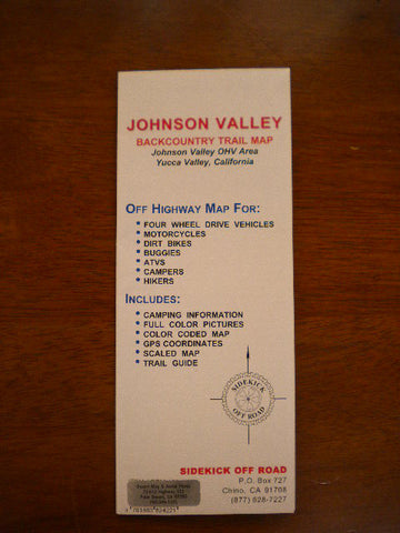
Johnson Valley Backcountry Trail Map
A new map of the nearly 200,000 acre area northwest of Yucca Valley, CA. Includes full color topographical map, major 4x4 trails, entry points, general information, GPS coordinates, color pictures, rules, statistics, tips and camping information. The Johnson Valley Off Highway Vehicle (OHV) Area is located east of Victorville and north of Yucca Valley in California’s high desert region. The nearly 200,000 acre area encompasses steep rocky mountains, flat desert lands, sand hills, dry lake beds and usually dry washes. Elevation in Johnson Valley ranges from 2,300’ to 4,600’ above sea level. But don’t let these numbers fool you. Temperatures above 105º are common during the summer months and the winter nights frequently drop below freezing. So whether you’re looking for a day trip from Los Angeles or an overnighter in a motorhome or tent, the Johnson Valley OHV Area is a great place for outdoor recreation. Sidekick Off Road, Published 2009, Scale Various, Format Folded, Paper, Topo Relief, Flat Dimensions (inches) 17 x 14