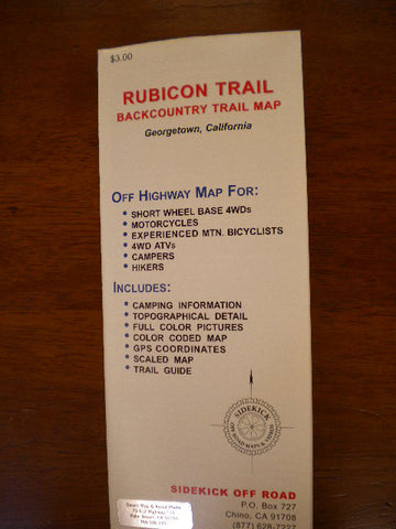
Rubicon Trail Backcountry Trail Map
Located 45 miles northeast of Sacramento. The trail starts near Loon Lake and ends at Lake Tahoe, California. Both street legal and green stickered vehicles are allowed. Very aggressive mountain terrain for short wheelbase four wheel drives and experienced ATV or motorcycle riders. The trail is the most written about 4WD trail in the United States. The narrow passages, rocky climbs and occasional mud hole keep the trail rated as "Most Difficult." The granite slabs, remote lakes, and mountain beauty create a desire to return every year. The trail is recommended for short wheel base vehicles with some type of rocker panel protection, and even then you may pick up a scratch or dent. Each year the snow fall closes the Rubicon trail in late October or early November. The snow melts off in June or July, leaving behind a graphic illustration of the power of running water--rocks are moved and the trail takes on a new look. Traveling from west to east has become the most common route and although you can reach Lake Tahoe in one day, the beauty of the Sierras and the challenging Rubicon trail create a desire to linger for several days, But without a doubt, once you have completed the Rubicon trail, the feeling of success will overwhelm you. You and your equipment will have completed one of the most difficult and talked about trails in the United States. Sidekick Off Road, Published 2006, Scale Various, Format Folded, Paper, Topo Relief, Flat Dimensions (inches) 17 x 14