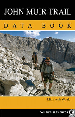
John Muir Trail - Data Book
A derivative of the comprehensive Wilderness Press guidebook John Muir Trail by Sierra expert Elizabeth Wenk, this data book is perfect for the weight-conscious hiker. A brief introductory section provides planning data, including information on permits, trailhead transport, and food resupplies. This is followed by on-the-trail information, including custom-made topo maps, elevation profiles, data tables, and labeled panoramas from prominent passes. There are tables for trail junctions, nearly 300 campsites, ranger stations, food-storage lockers, and lateral trails accessing the JMT. All tables include GPS waypoints, cumulative distances (given for both southbound and northbound), and elevation. The campsite table has long been a favorite with JMT hikers and has been comprehensively updated with new campsites and information on fire restrictions. The two-color topo maps, including both the trail and surrounding ridges, are scaled and framed with a JMT hiker in mind. The trails shown on the maps are derived from GPS tracks, and the data from the tables is plotted onto the maps for quick reference. Additional maps are provided for certain trailheads and difficult-to-navigate areas, such as Yosemite Valley, Tuolumne Meadows, the Reds Meadow and Devils Postpile area, the regions around Lake Thomas Edison and Vermilion Valley Resort, and Lone Pine. The labeled panoramas allow hikers to easily identify nearby peaks during well-earned breaks atop passes. If you would like detailed information on planning for your trip, considerations for hiking in the Sierra Nevada, or a trail description, those are only available in the comprehensive John Muir Trail book. Elizabeth Wenk, 2014, 111 pages, softcover