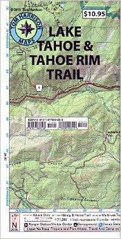
Lake Tahoe & Tahoe Rim Trail
Tom Harrison maps have color-coded symbols and trails, mileages between trail junctions, latitude/longitude, UTM grids, contour lines, vegetation, and elevations at trail junctions.
pub. 2013, scale 1:71,280 80 ft contours