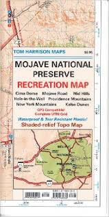
Mojave National Preserve
pub. 2015, scale 1:190,080 200 ft contours
maps have color-coded symbols and trails, mileages between trail junctions, latitude/longitude, UTM grids, contour lines, vegetation, and elevations at trail junctions.
pub. 2015, scale 1:190,080 200 ft contours
maps have color-coded symbols and trails, mileages between trail junctions, latitude/longitude, UTM grids, contour lines, vegetation, and elevations at trail junctions.