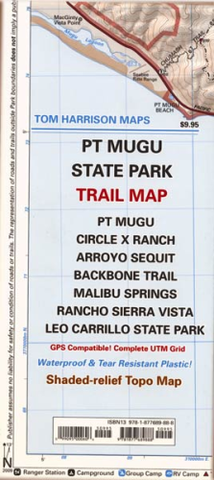
Point Mugu State Park
maps have color-coded symbols and trails, mileages between trail junctions, latitude/longitude, UTM grids, contour lines, vegetation, and elevations at trail junctions.
Pt Mugu State Park pub. 2014, scale 1:31,680 50 ft contours