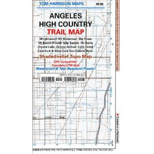
Angeles High Country
Our maps have color-coded symbols and trails, mileages between trail junctions, latitude/longitude, UTM grids, contour lines, vegetation, and elevations at trail junctions.
pub. 2018, scale 1:63,360 80 ft contours
Our maps have color-coded symbols and trails, mileages between trail junctions, latitude/longitude, UTM grids, contour lines, vegetation, and elevations at trail junctions.
pub. 2018, scale 1:63,360 80 ft contours